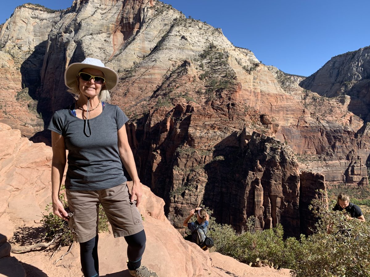
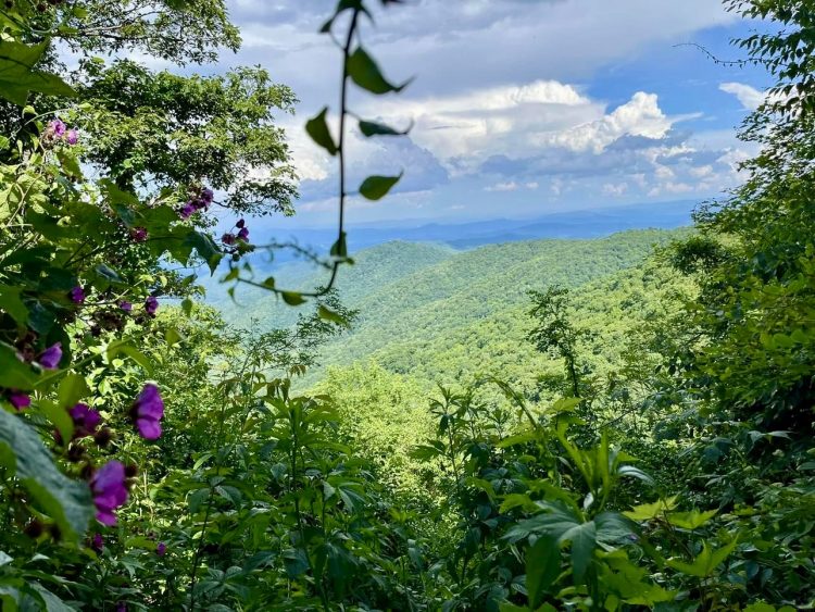
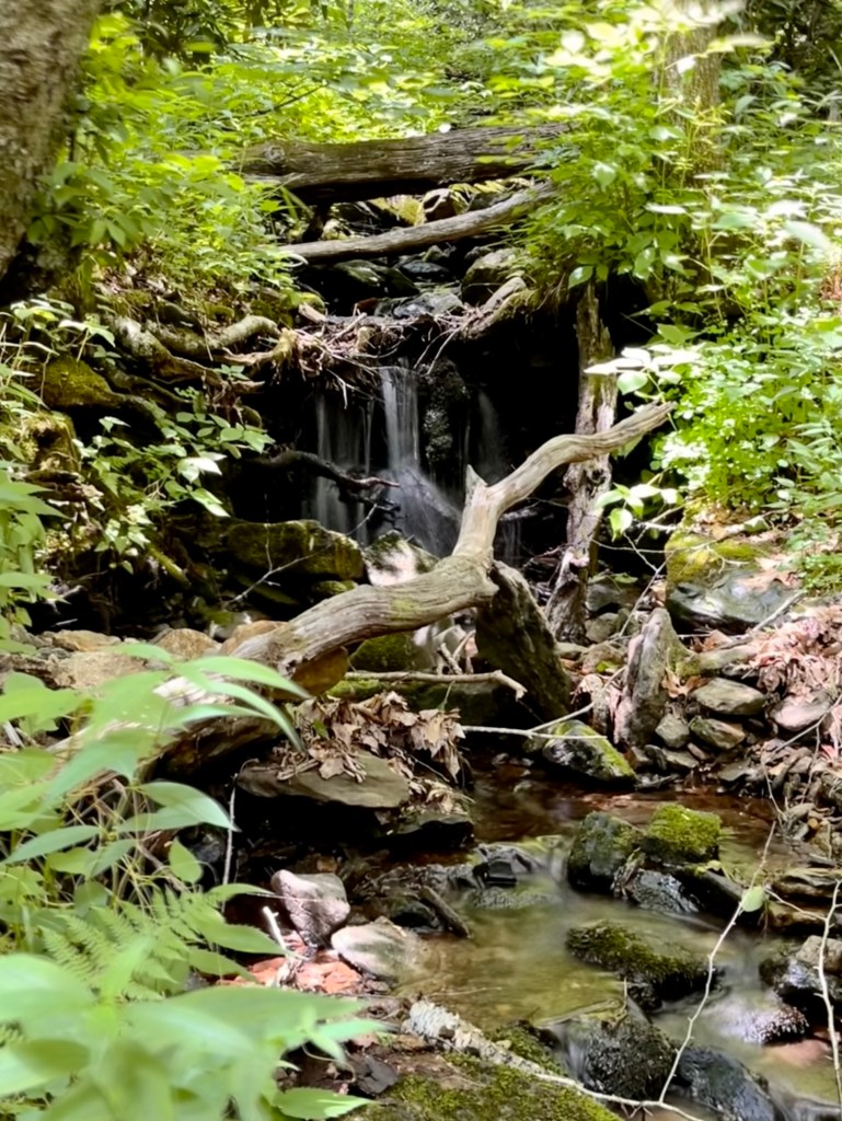
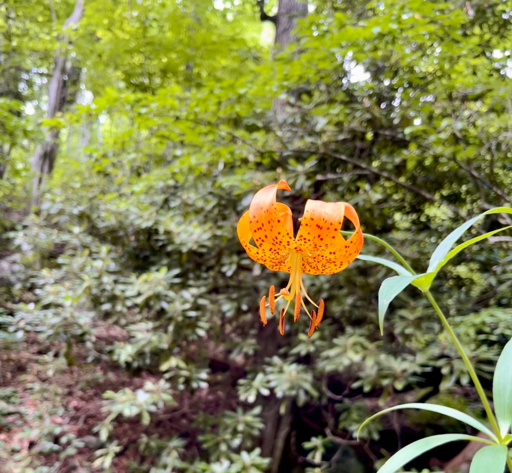
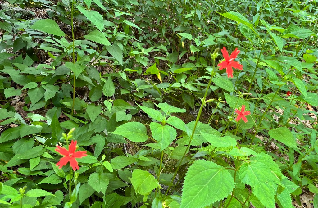
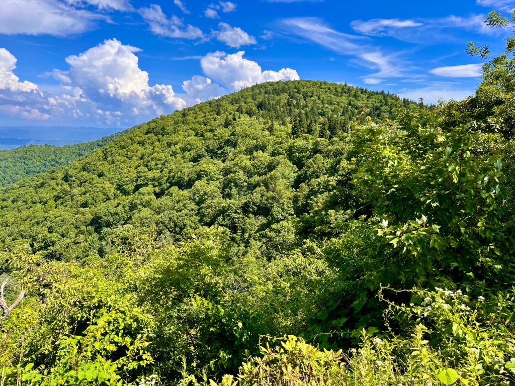
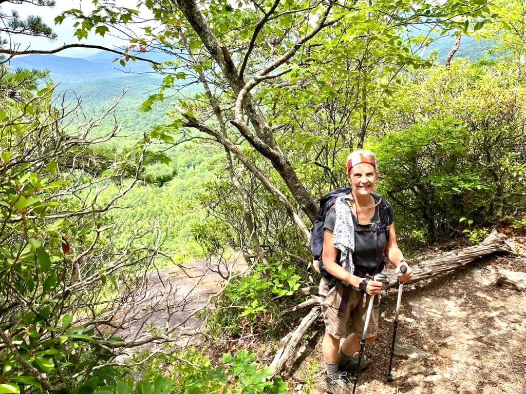
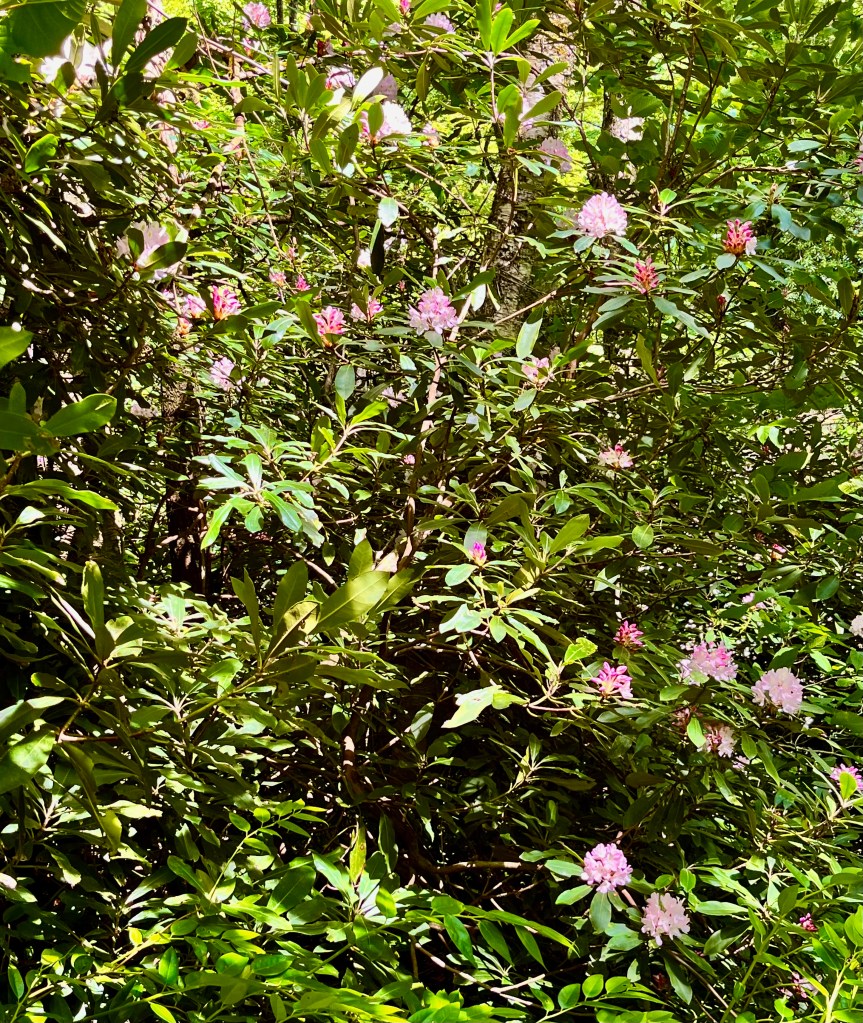
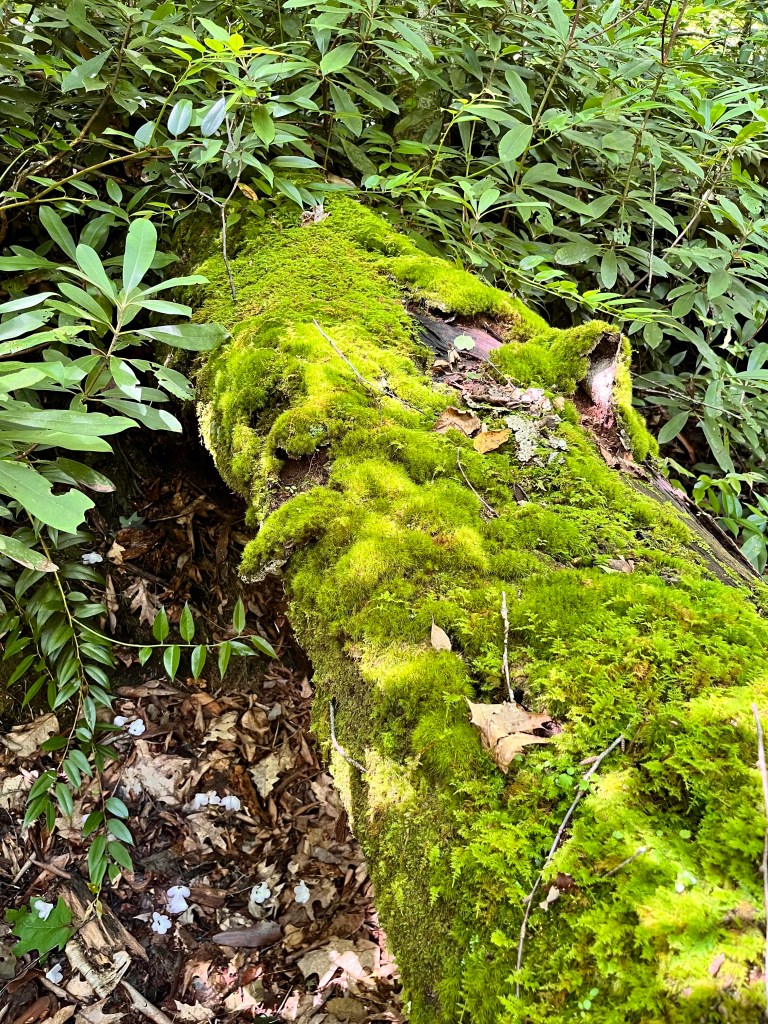
The first hike this week was a 9.25-mile, and 2,287 ft. elevation gain loop starting from the trailhead parking area for the Mt. Pisgah trail. Mt. Pisgah is an iconic peak about 15 miles southwest of Asheville, NC. It has the highest broadcasting tower east of the Mississippi River from its summit at 5,721 ft. The television antenna rises to 6,023 ft. above mean sea level and can be seen from all directions for many miles away. Our trek started on the Buck Spring trail passing the foundation stone for the historic hunting lodge of George Vanderbilt of the Biltmore Estate. From there, we took the Laurel Mountain Trail and wound around to Pilot Rock which is a bold-faced stone cliff providing views of the valley below. From there we kept descending down a steep, rocky trail and ended up on a gravel road. It was a long descent, so we knew it was going to be a hard climb up to our starting point. We found the Thompson Creek Trail and followed beside the pleasant sounds and sights of this mountain stream for about 2 miles. Along the way we spotted a Carolina lily standing all by itself. This variety of lily is the North Carolina state wildflower and is rather rare to find. We eventually got above the creek and the babbling sounds faded in the breeze as we continued trudging upward. We were pleased to find many plants in bloom including the Carolina Rhododendron, Mountain Laurel, Fly poison, Galax, Fire Pink, and even some late blooming native azaleas. After many zigzags we finally passed Little Bald Mountain at 5,286 ft. and from there it was all downhill back to our car. We made the journey in 5 hours and 7 minutes of moving time. I was grateful for the two women hikers who joined me on this delightful though tiring adventure.


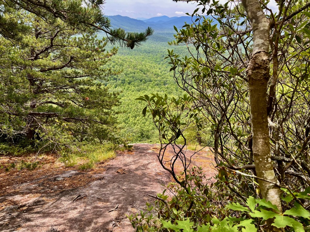
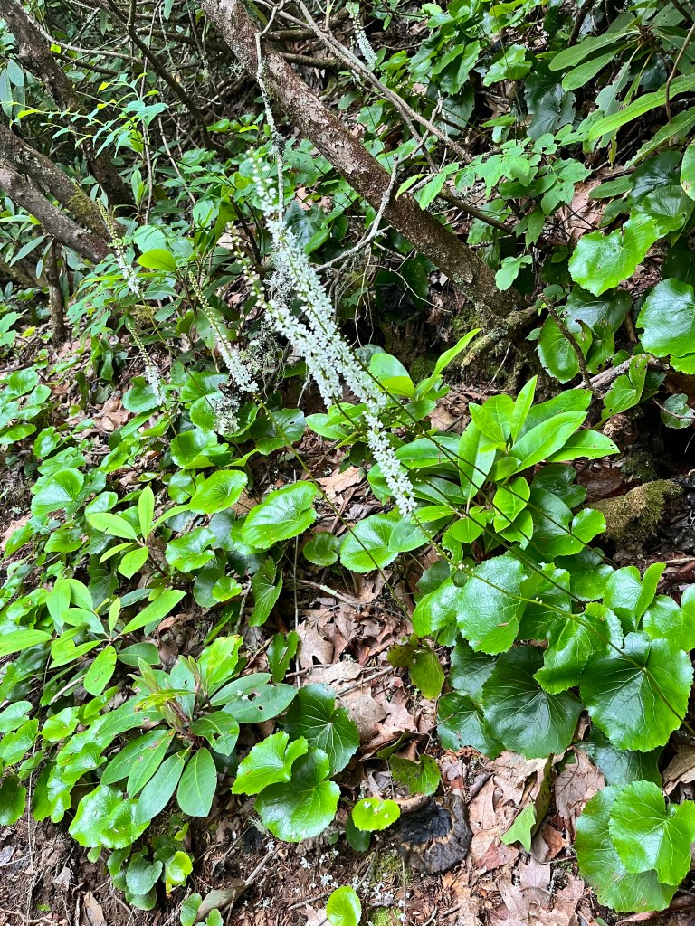

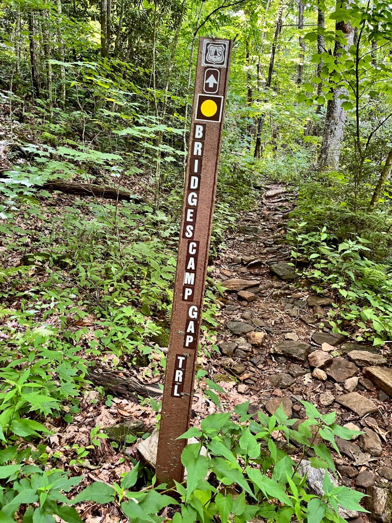
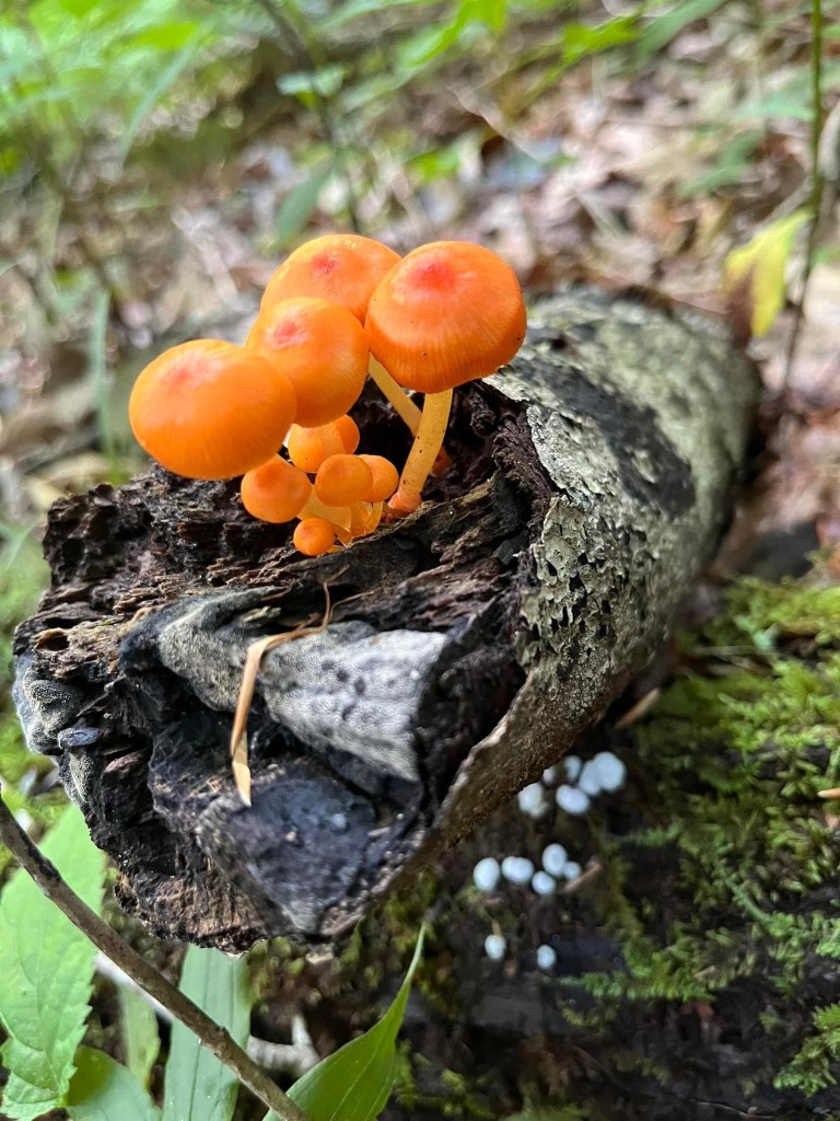
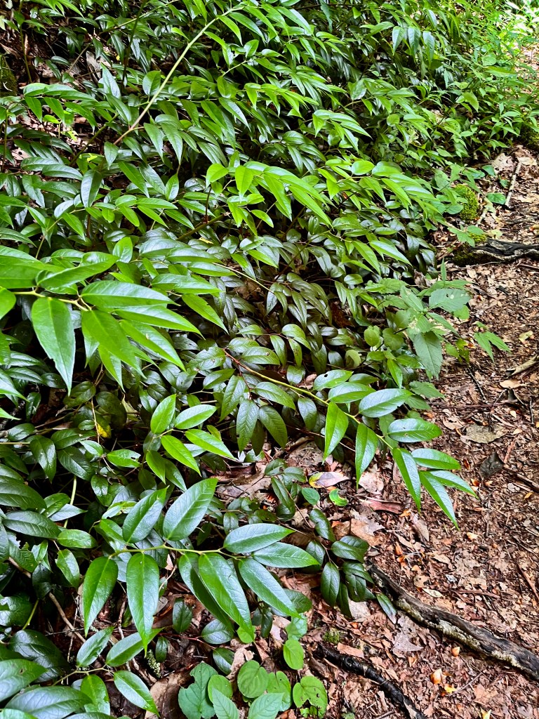
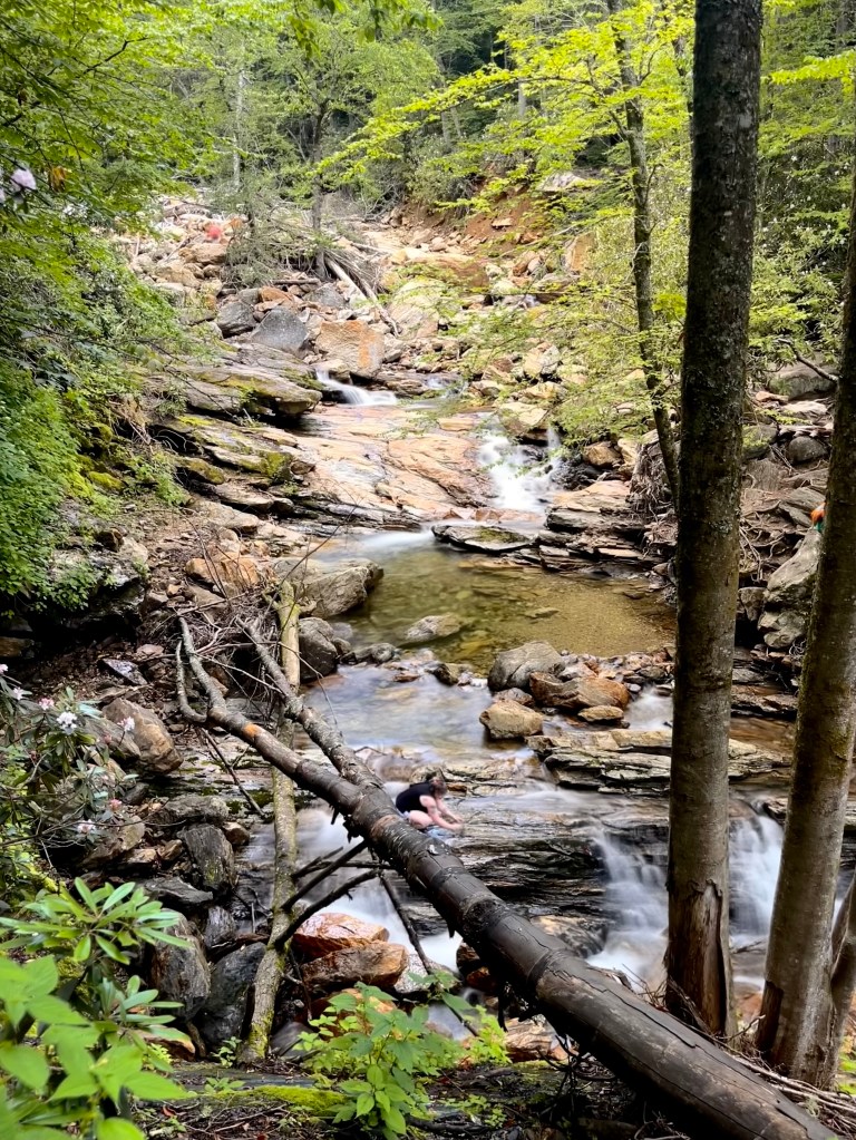
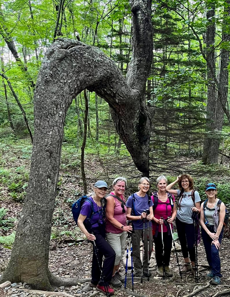
The second hike was from the Looking Glass Rock overlook off the Blue Ridge Parkway. This is the iconic monolith I climbed last week which can be seen from several overlooks on the Blue Ridge Parkway. We started on a trail to Skinny Dip Falls but cut off that trail to take the Bridges Camp Gap path to the Big East Fork River. It was a steep trail down to the place where the narrow trail levels off somewhat and hugs the side of the mountain as it follows the river. It is difficult when the trees are leafed out to get a good view of the river below the trail as it rushes over boulders and rocks making cascading waterfalls most of the way. Along the way though, there are areas where the water drops into crystal clear pools of ice-cold water inviting us to jump in and cool off. We might have done that if we didn’t have to scramble down a sheer drop off to get to the river. We stopped for lunch at a place where the trail was at the bank of the river, and we were able to stand on rocks at the river’s edge. The trail was forested with lots of Carolina rhododendrons in full bloom and lots of Dog Hobble in the underbrush. It was obvious that this trail does not see many travelers. When we got back to where we turned off the trail to Skinny Dip Falls, we decided to take the short trek over and look at them. This destination is very popular among locals and tourists alike as it provides a good place to get in the water. On our way back to our cars, we stopped to take group pictures with the very iconic “dragon” tree as our backdrop. While the 5.3-mile and 863 ft. elevation gain trail wasn’t very difficult, it was beautiful, refreshing, and a fun trip for all.


© Copyright 2023. Lucretia Pintacuda. All rights reserved.

What a beautiful experience. Thanks for sharing. Beautiful pictures. You’re awesome! Bunny
https://www.avast.com/sig-email?utm_medium=email&utm_source=link&utm_campaign=sig-email&utm_content=webmail Virus-free.www.avast.com https://www.avast.com/sig-email?utm_medium=email&utm_source=link&utm_campaign=sig-email&utm_content=webmail <#DAB4FAD8-2DD7-40BB-A1B8-4E2AA1F9FDF2>
LikeLiked by 1 person